Here's what the $6B REM light-rail network will look like across Montreal (RENDERINGS)

Montreal is currently developing what will become North America’s second-largest public transit network.
The city’s new electronic transit system, the Réseau électrique métropolitain (REM), will be interconnected with Montreal’s metro network and will connect 26 stations across the island, offering new routes all across the metropolitan area and suburbs.
Scheduled to open in parts throughout 2023 and 2024, the 67-kilometre light-rail network will link the West Island with downtown, the South Shore, North Shore, and Trudeau International Airport.
- You might also like:
- New above-ground REM light-rail train will no longer run through downtown Montreal
- Here's how Montreal will look like when the new REM de l'Est is complete (VIDEO)
- Here's what the voice of Montreal's new REM light rail train will sound like
- City of Montreal to transform Peel Street with over $100 million makeover
The $6.9-billion project, the largest development ever undertaken by Quebec, will replace the Deux-Montagnes line and add a route along the Trans-Canada highway to the West Island.
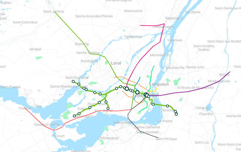
REM.info
The network is expected to run 20 hours a day, seven days a week. It will become the fourth-largest automated transportation system in the world, according to the REM, trailing only Singapore (82 km), Dubai (80 km), and Vancouver (68 km).
Here is how the 26 REM stations will be divided, across the Montreal metro area.
Central
- Mont Royal
- Canora (Cote des Neiges)
- McGill
- Bonaventure Central Station
- Bassin Peel
- Ile des Soeurs
West Island
- Deux Montagnes
- Grand Moulin (Deux-Montagnes)
- Sainte-Dorothée
- Île Bigras
- Pierrefonds-Roxboro
- Sunnybrooke
- Sainte Anne de Bellevue
- Kirkland
- Pointe Claire
- Des Sources (Pointe-Claire)
- Technoparc Montreal
- Montreal-Trudeau Airport
- Bois Franc
- Du Ruisseau (Cartierville)
- Montpellier
South Shore
- Panama (Longueuil)
- Du Quartier (Quartier DIX30)
- Rive-Sud
North Shore
- Blainville St-Jerome
Even though the massive transit project has certainly had its fair share of headaches — like changing infrastructure promoters — REM image renderings do an intriguing job of showing the massive scope behind the entire project.
From stations to infrastructure and rail cars, here is how the REM expects the network will look, once fully completed.

Bridge between Île-des-Sœurs and the south of Montreal (REM.info)
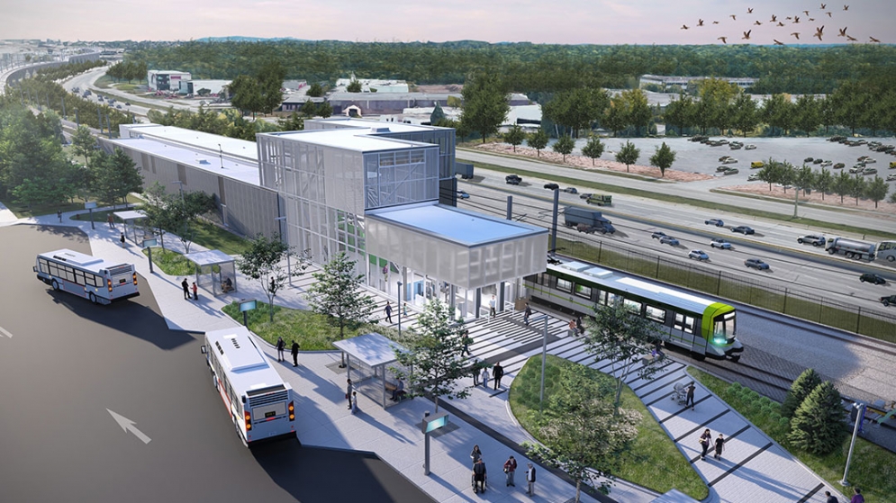
Anse-à-l’Orme Station (REM.info)

Bridge betttween Île-des-Sœurs and the south of Montreal, at night (REM.info)
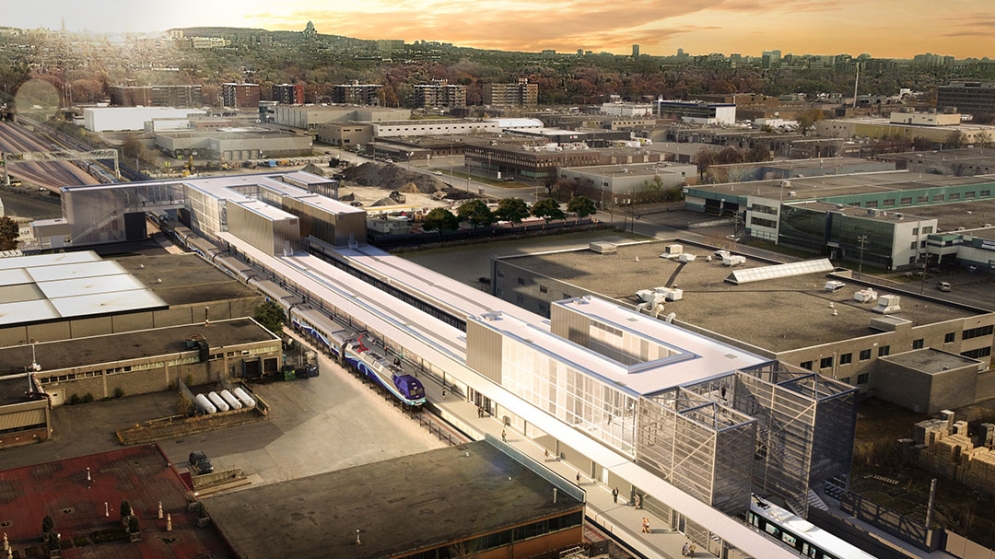
Exterior of the Côte-de-Liesse station (REM.info)
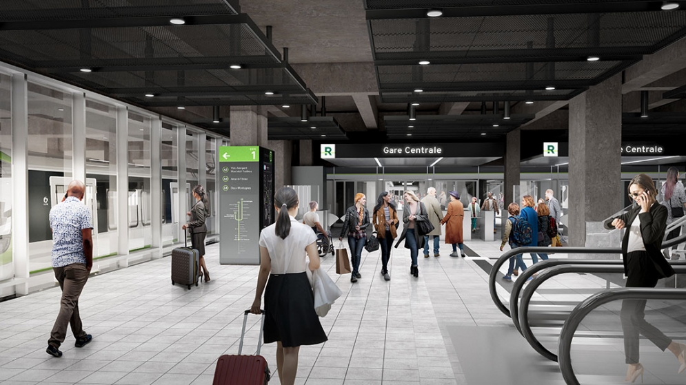
Gare Central (REM.info)
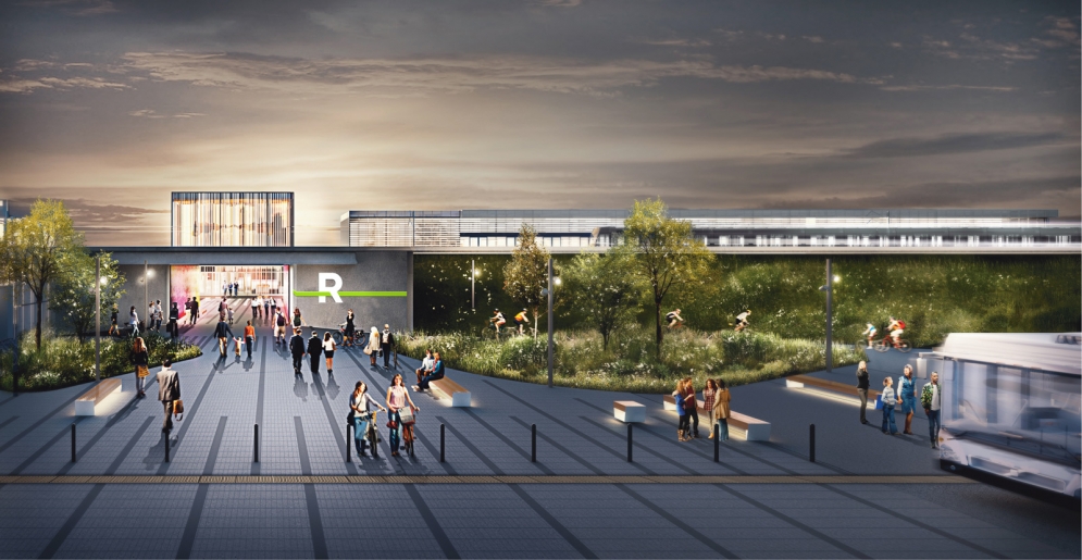
Panama Station (REM.info)
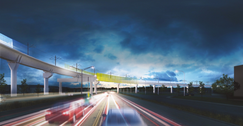
Highway 40 (REM.info)
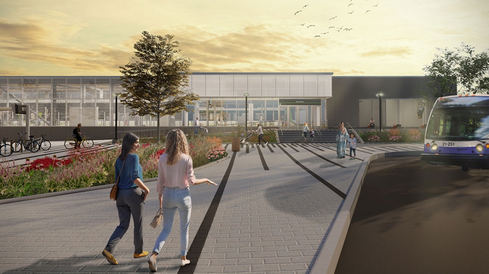
Exterior of the Bois-Franc station (REM.info)
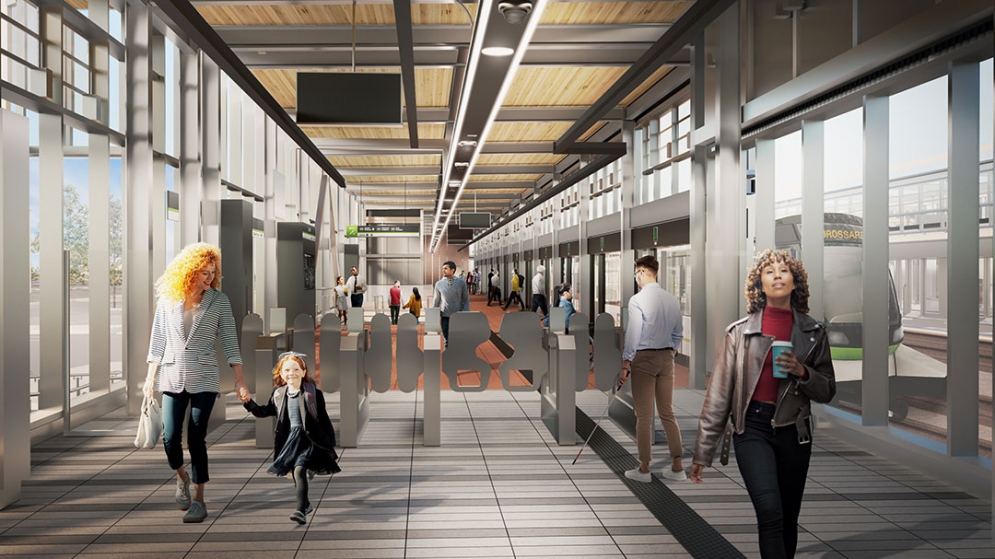
Interior of the Bois-Franc station (REM.info)
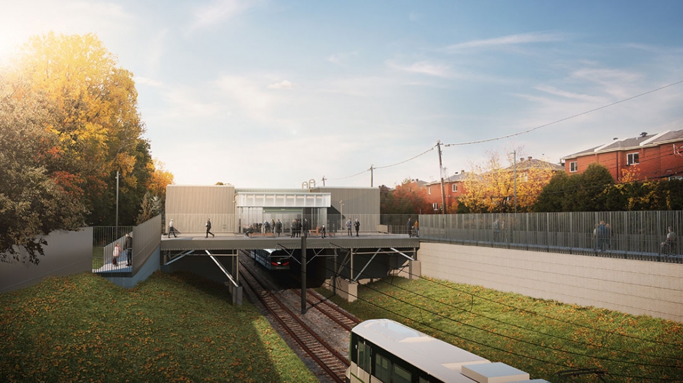
Canora Station (REM.info)
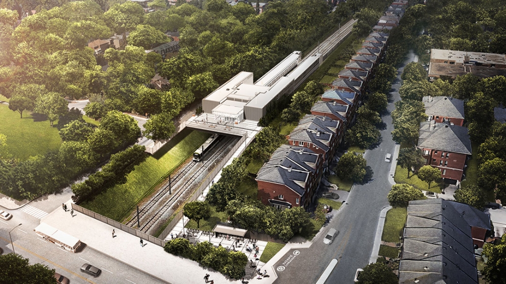
Canora Station (REM.info)
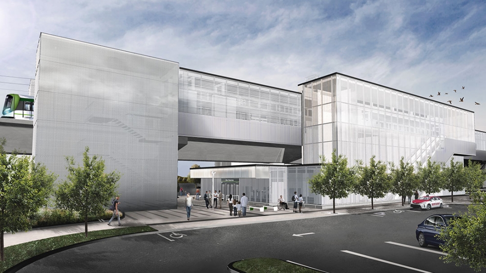
Des Sources Station (REM.info)
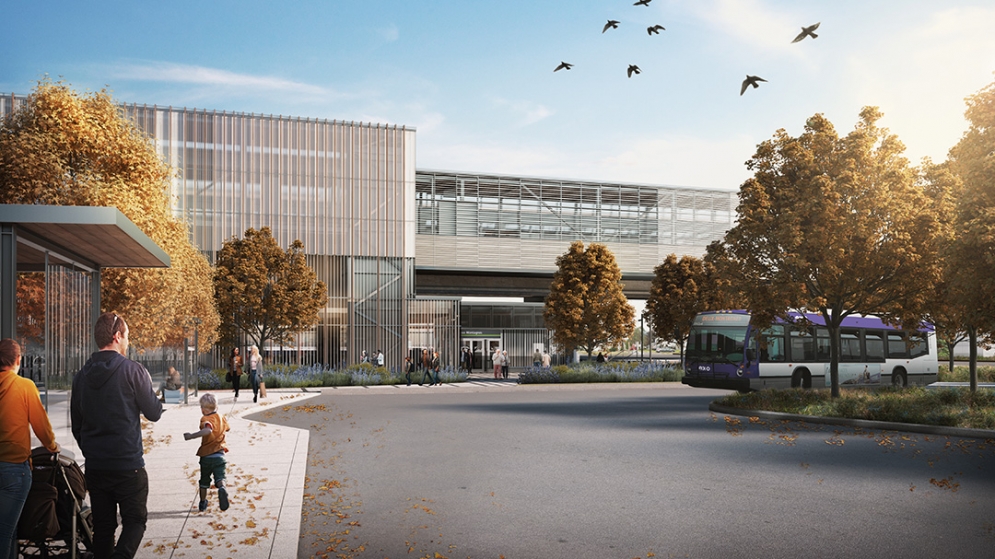
Deux-Montagnes station (REM.info)
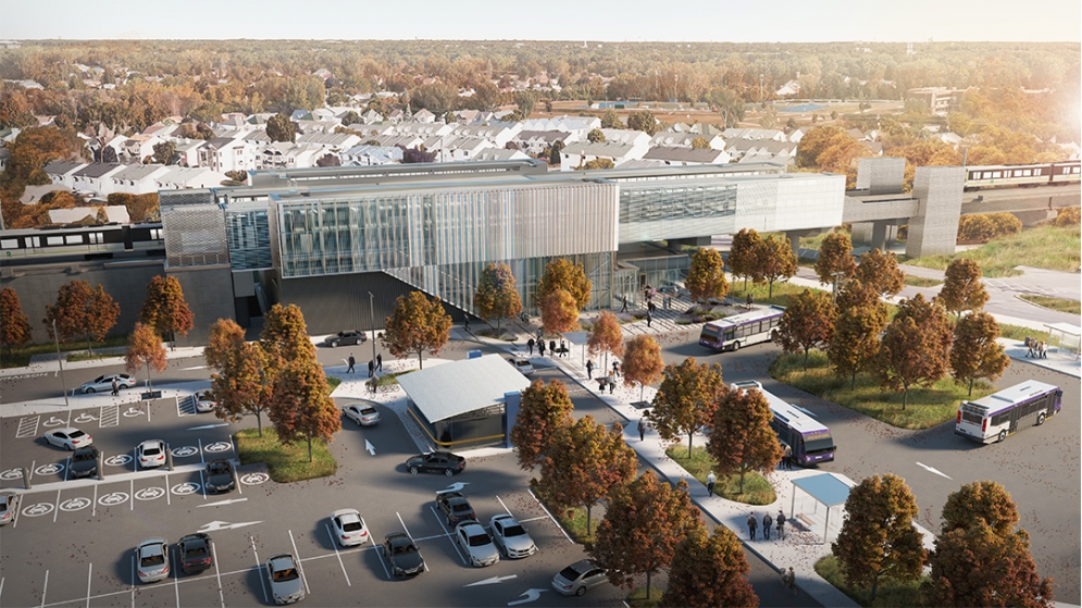
Deux-Montagnes station (REM.info)
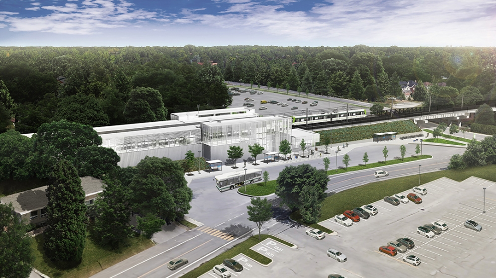
Sainte-Dorothée station (REM.info)
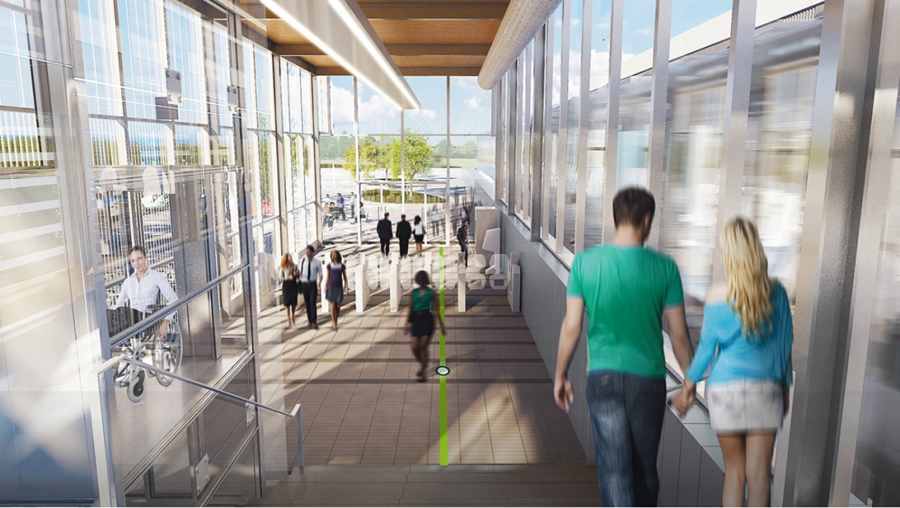
Du Ruisseau Station, interior (REM.info)
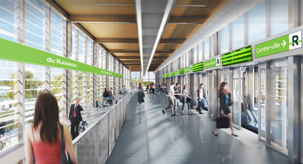
Du Ruisseau Station, interior (REM.info)
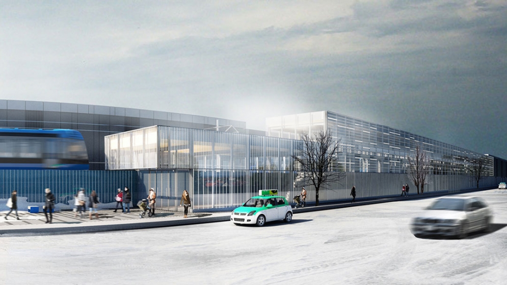
Du Ruisseau Station, exterior (REM.info)
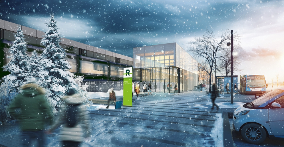
Du Ruisseau Station, exterior (REM.info)

Grand-Moulin station (REM.info)
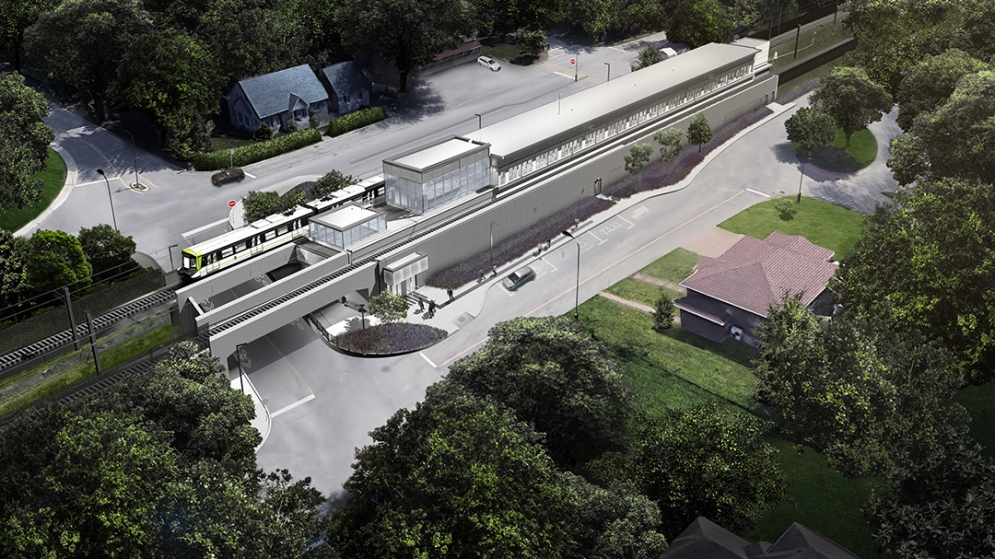
Île-Bigras station (REM.info)
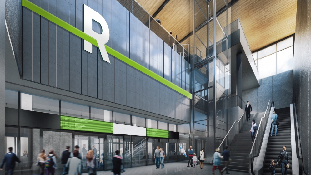
Marie-Curie Station, interior (REM.info)
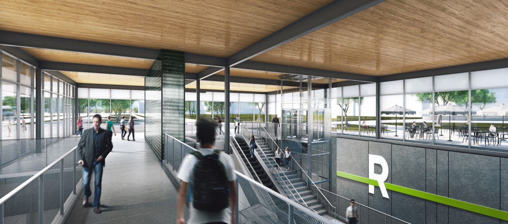
Marie-Curie Station, interior (REM.info)
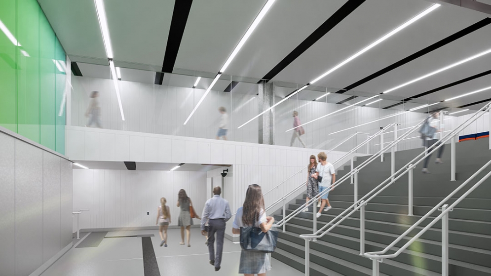
McGill Station (REM.info)
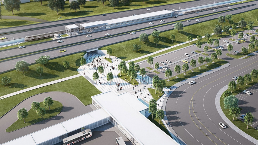
Panama Station (REM.info)
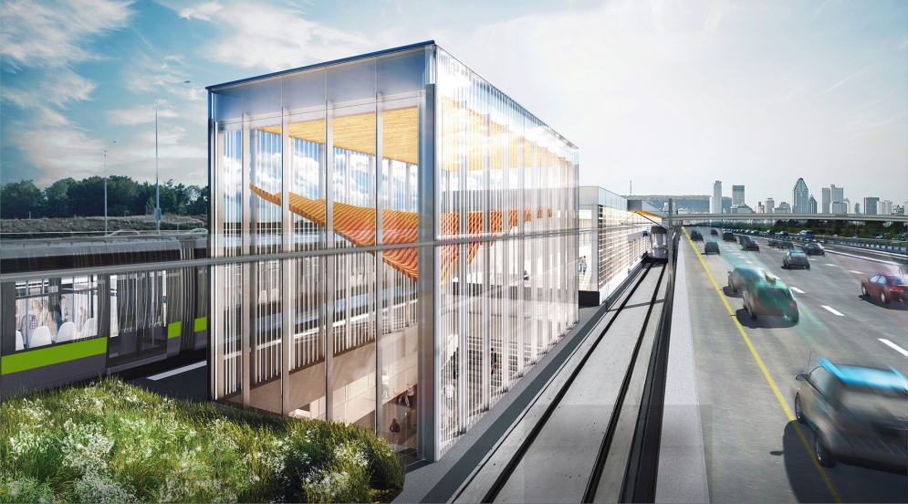
Panama Station (REM.info)
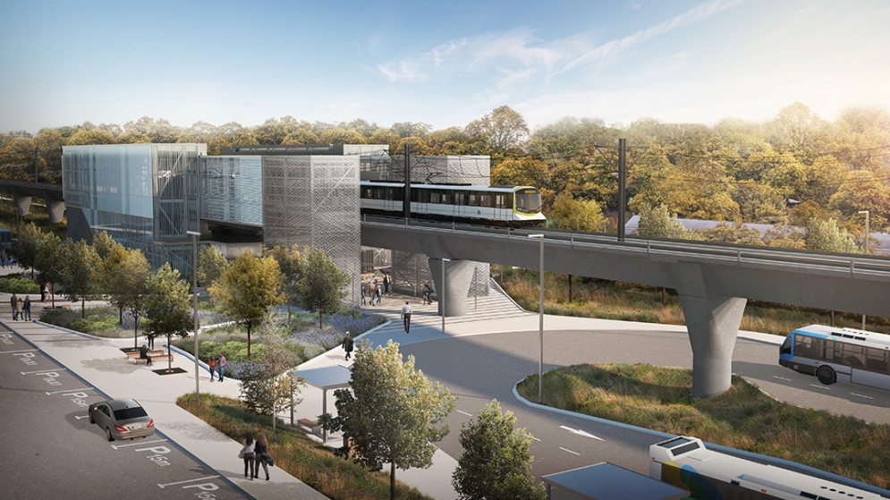
Pierrefonds-Roxboro station (REM.info)

Sunnybrooke Station (REM.info)
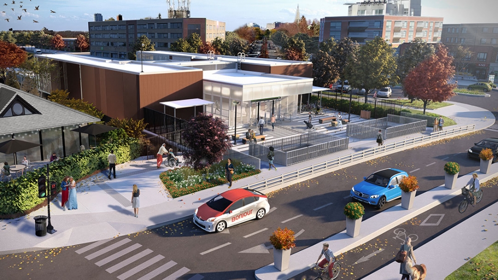
Exterior of the Ville-de-Mont-Royal station (REM.info)

