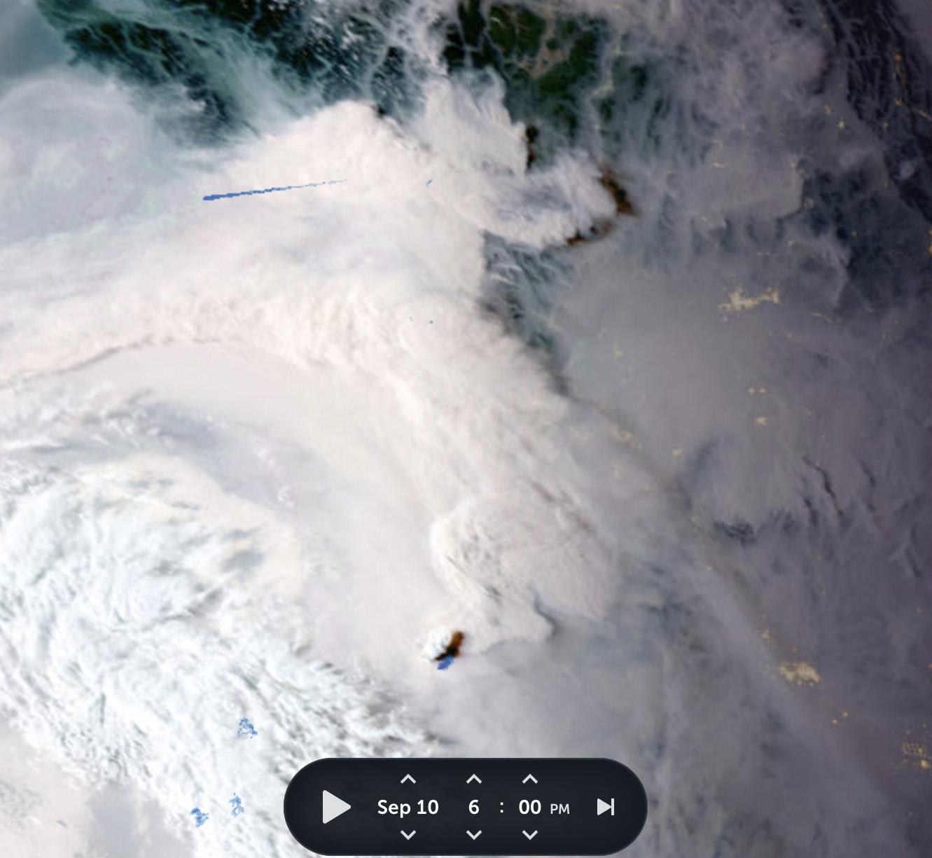
The intensely smoky skies in Vancouver are so thick that you can see them from space.
Looking at satellite photos of the Pacific Northwest over the last 24 hours, it’s easy to see how smoke billowing from wildfires in Washington and BC have swirled together to blanket the province in a haze.
On Saturday, September 10, the skies were relatively clear, so you could easily see the smoke.

Zoom Earth

Zoom Earth

Zoom Earth

Zoom Earth
Visible smoke plumes from Washington swirled north as the clouds rolled in on Saturday. Then, on Sunday, it was harder to see the smoke because of the clouds. It appeared as if the brownish smoke had spread out along the Lower Mainland overnight.

Zoom Earth
You can check out these Zoom Earth maps online for yourself. You can also look at FireSmoke Canada for smoke forecasts.
Still smoky across Metro Vancouver (circled) as sun begins to break through clouds above. Here's the anticipated smoke situation for around the noon hour. https://t.co/RGenqhyzQ0 is a fine resource to explore smoke patterns. #BCstorm @DouglasPynn @ChuckDalldorf @bc_news_addict pic.twitter.com/CcQrNFitFf
— Peter Vogel (@PeterVogel) September 11, 2022
On Sunday, Vancouver had the worst air quality in the world. Fires burning in the city, the province, and beyond have contributed to a ton of smoke in Metro Vancouver and the Fraser Valley this weekend.
Health officials have urged the public to do what they can to stay safe and reduce exposure, including reducing your time spent outside and using a HEPA air cleaner inside.
You can sign up to get air quality alerts in your area online and check out the AirMap to see the latest up-to-date air quality information.

