
June is Indigenous History Month, and the TTC is honouring Toronto’s robust history with a series of new maps.
All month long, riders will see the new maps posted on TTC vehicles and inside stations, highlighting various historical Indigenous sites around the city that are near existing TTC routes and stations.

TTC
Nine maps have been designed, each of which features historical facts about the site to educate TTC riders on the significance of each place.

TTC
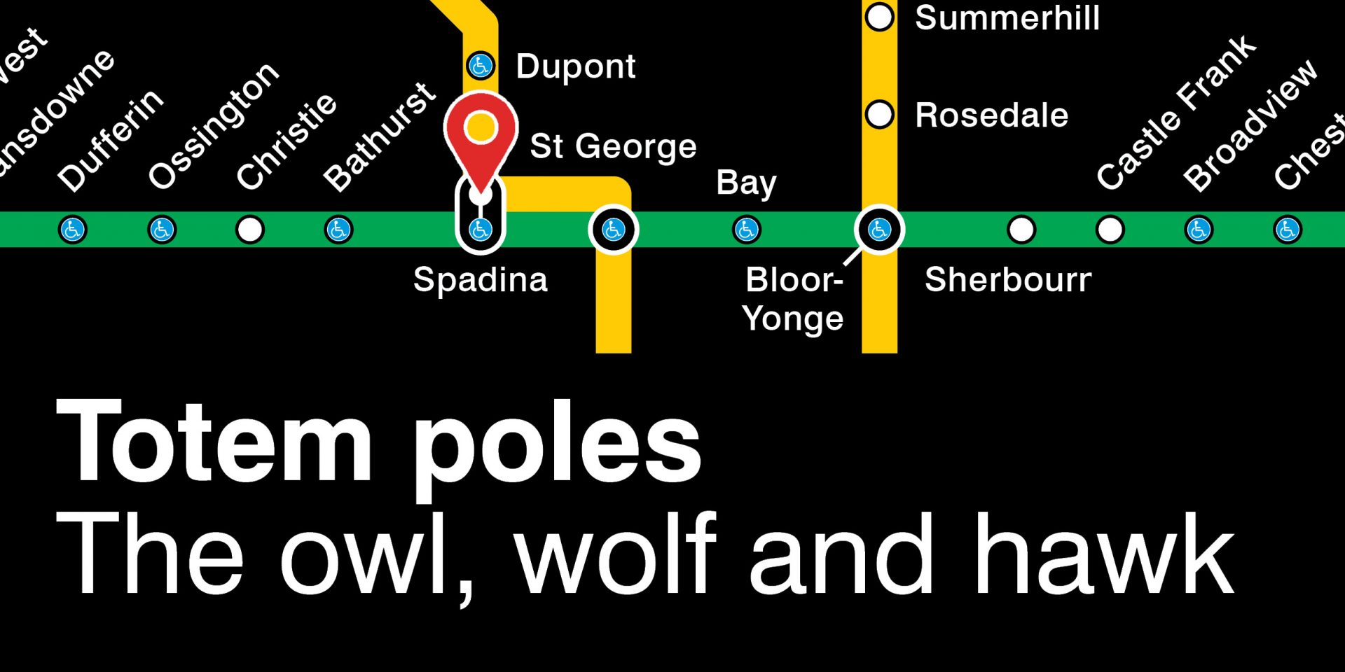
Highlighted locations include a 10,000-year-old road near Line 1’s Dupont and Spadina stations that was once part of a hunting site and a trail near the Humber river where fur traders travelled by canoe.

TTC
TTC
St. Lawrence Market serves as a marker for two important points on the maps. It was not only along the route where the Mississaugas of the Credit traded fish with settlers, but was where Chief Wabakinine of the Mississaugas was killed after being attacked by a British soldier in 1796.

TTC
- See also:
TTC
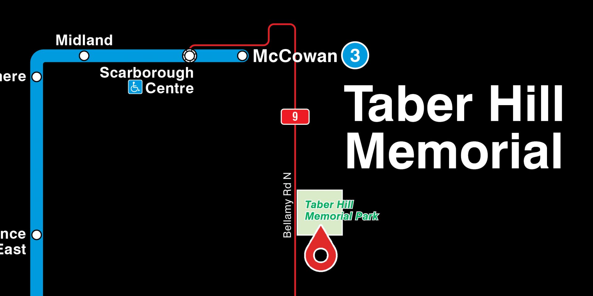
On a map showing part of Line 3 in Scarborough, Taber Memorial Hill, the site of an ancient Huron-Wendat burial mound that dates back to the 14th century, is highlighted.
TTC
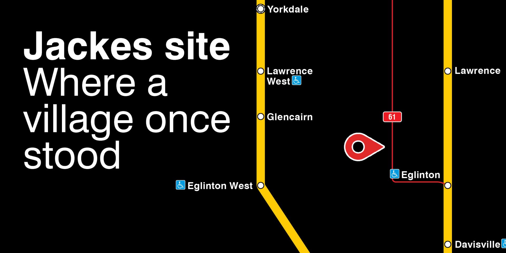
And where Allenby Public School now stands near Eglinton station was once the site of an ancient Huron-Wendat village.
TTC
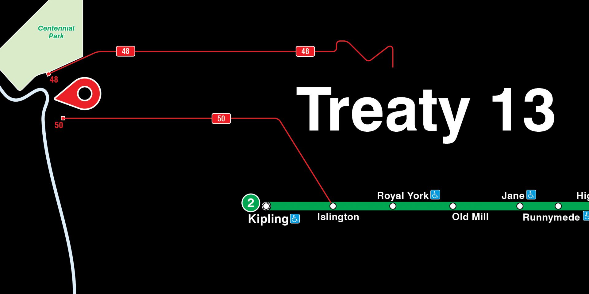
Over on the western end of Line 2, the map notes the boundary of Treaty 13 — the Toronto Purchase Treaty between the Mississaugas of the Credit First Nation and the British Crown.
The map posters, made in collaboration with the Mississaugas of the Credit First Nation, Huron-Wendat First Nation, and Young Spiritual Elder Philip Cote, will be visible throughout the entire month of June.

