
Snow blankets parts of Metro Vancouver ahead of a chilly week

Depending on where you woke up on Monday, you either saw your driveway covered in snow or you have no idea what we are talking about when we say that it’s a winter wonderland in some areas.
Places like New Westminster, Port Coquitlam, Coquitlam, and Burnaby in particular saw quite a bit of overnight flurries, whereas lower elevation areas were spared.
One person said that they didn’t particularly care for the flakes, and another remarked that the snow was gone by the time they woke up in South Surrey so they were fine with it.
For Burnaby Mountain, Simon Fraser University made the call not to cancel classes Monday despite some slippery areas, something that some took issue with.
- You might also like:
- Retiring in BC? Here are OUR choices for stunning spots to retire on the West Coast
- Rain, rain, go away: When will the weather clear up in Vancouver?
- "Very hot days": BC is in for warmer-than-normal spring and summer
“Horrible decision,” one person wrote on X.
“Terrible choice,” another user echoed.
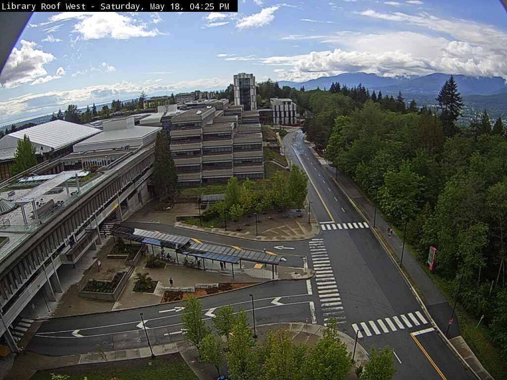
A webcam captures the view from the Library at the Burnaby campus of SFU. (SFU.ca)
While Monday is warming up with temperatures hovering above zero, there are some more cold days ahead.

weather.gc.ca
According to Environment and Climate Change Canada, it will be -4°C overnight Monday night, and no chance for double-digit temperatures until Friday at the earliest.
We haven’t said this stat in a little while. With 1cm of Snow recorded at the Vancouver Weather Station yesterday (much higher everywhere else). We have exceeded our Snowfall average for the month of March in Vancouver. 2 day total of 3cm. First time in 7 years… #bcstorm pic.twitter.com/QQCnLCGYIy
— Brad604 (@Brad604) March 4, 2024
While it might seem unusual, especially after the winter Vancouver has had so far, snow in March isn’t incredibly rare. The average low for this day in history is 2.4°C, and the record-breaking snowfall amount was set in 1962 with 8.6 cm.
We spoke with a meteorologist about what’s ahead for Vancouver for March, read more here.

Follow Channels and Categories