4 public cannabis consumption sites being considered in Calgary

There’s no question that legalization will be coming into effect on October 17, but now Calgary is asking its citizens where a suitable location to consume that legal cannabis would be.
Four locations around the city have been proposed by the municipal government, and all four have been put forward for feedback in a two-week public input process.
See also
- Federal government approves saliva screening roadside test for cannabis
- Canadian company brewing cannabis beer raises over $15 million in funding
- Boutique cannabis stores are popping up across the country
The proposed locations were determined by a number of factors, many of which being put into place by the city to ensure that legal cannabis consumption does not occur within the vicinity of schools, playgrounds, off-leash areas, safety hazards, or residences, to name just a few points of the criteria.
“Since late 2016, the city has extensively researched and developed regulations around cannabis that are tailored to our diverse population,” said Matt Zabloski, lead for the city’s cannabis legalization project, in the release.
“Each of the regulations we’ve set is reflective of the concerns Calgarians expressed to us, and we are eager to hear citizen feedback about these potential designated cannabis consumption areas.”
The four locations are:
The green space at 11th Avenue SE between 11th Street and 12th Street in Inglewood
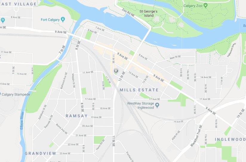
The green space at 11th Avenue SE between 11th Street and 12th Street in Inglewood. (Google Maps)
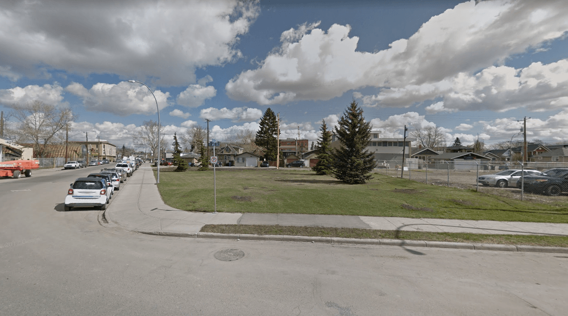
The green space at 11th Avenue SE between 11th Street and 12th Street in Inglewood. (Google Maps)
The green space adjacent to Wildlands parking lot on Ninth Avenue SE past 22nd Street in Inglewood
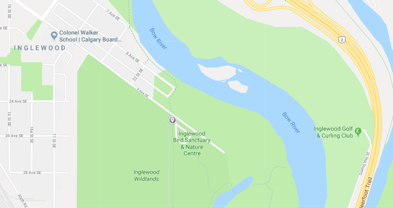
The green space adjacent to Wildlands parking lot on Ninth Avenue SE past 22nd Street in Inglewood (Google Maps)
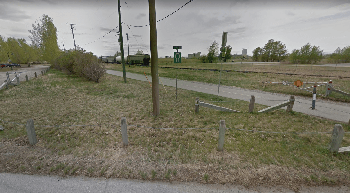
The green space adjacent to Wildlands parking lot on Ninth Avenue SE past 22nd Street in Inglewood (Google Maps)
Murdock Park, on the southern end of 7A Street NE in Bridgeland
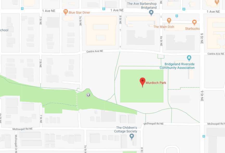
Murdock Park, on the southern end of 7A Street NE in Bridgeland (Google Maps)

Murdock Park, on the southern end of 7A Street NE in Bridgeland (Google Maps)
The green space located north of shopping plaza at Glenmore Trail and Ogden Road SE in Ogden
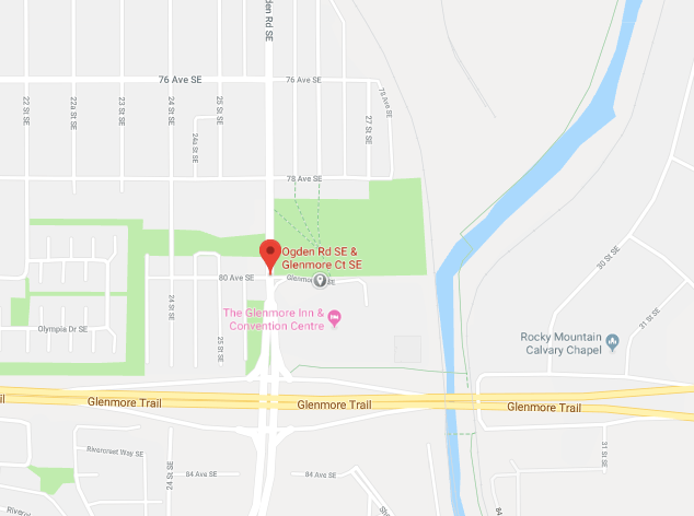
The green space located north of shopping plaza at Glenmore Trail and Ogden Road SE in Ogden (Google Maps)
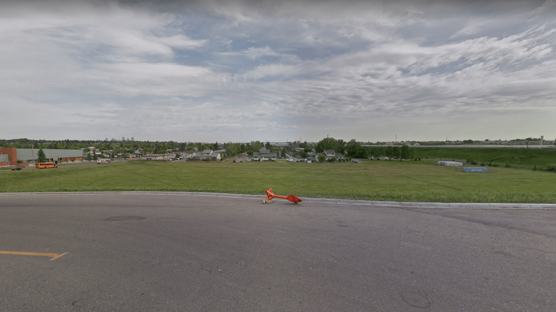
The green space located north of shopping plaza at Glenmore Trail and Ogden Road SE in Ogden (Google Maps)
Calgarians can provide their feedback on the potential cannabis consumption sites by going to the city’s website and filling out an online form or by attending any of the four locations and filling out a form there.
Input will be taken between August 27 and September 7.

