Then and now: 10 years of Google Street View in Toronto (PHOTOS)
Mar 27 2017, 8:35 pm

What a difference a decade can make.
It’s already been 10 years since Google first started photographing every inch of Toronto. The differences between then and now are staggering.
Check out these snaps of what Toronto looked like in 2007 vs. now.
CityPlace, 2007 and 2016

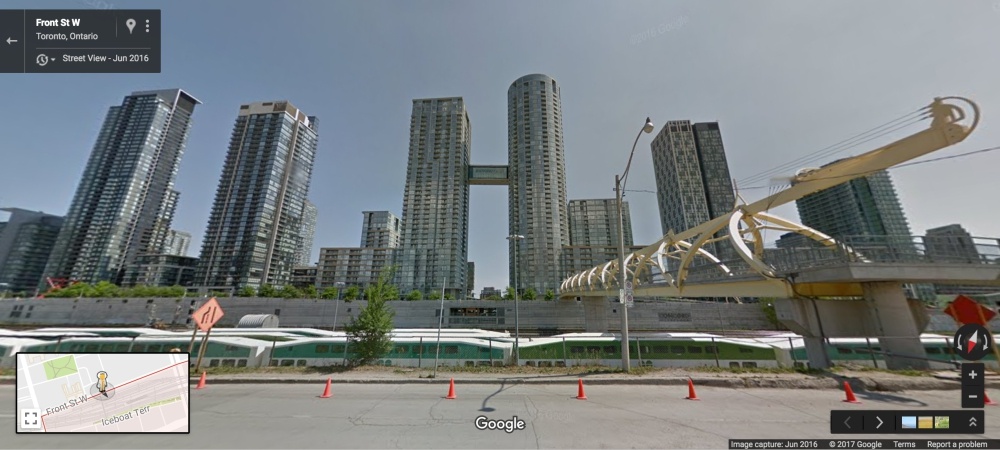
Google Street View
Canary District, 2007 and 2016

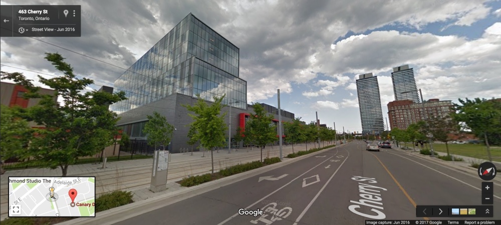
Google Street View
Regent Park, 2007 and 2016

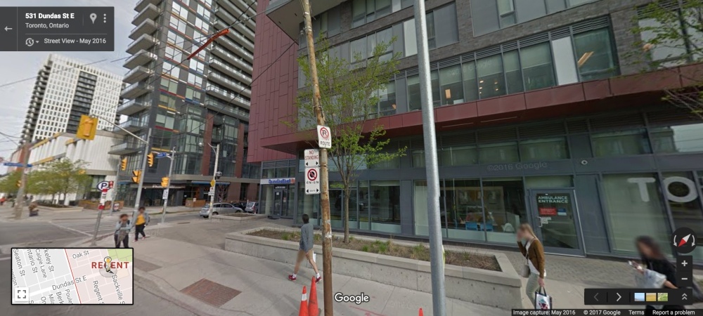
Google Street View
St. Clair West at Bathurst, 2007 and 2016


Google Street View
Union Station, 2007 and 2016

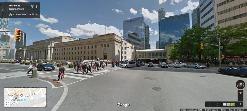
Google Street View
Yonge and Dundas, 2007 and 2016

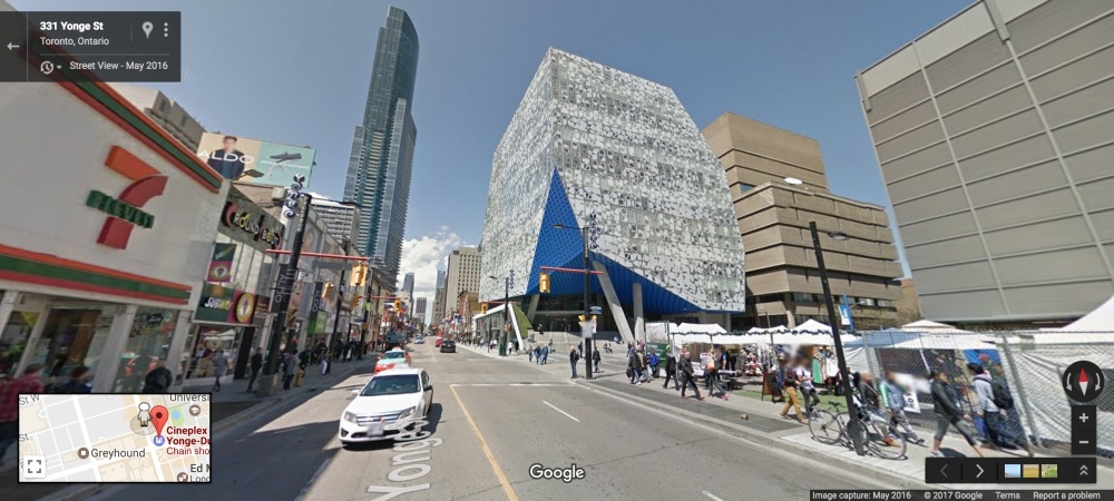
Google Street View
Yonge and Bloor, 2007 and 2016


Google Street View
Yonge & Sheppard, 2007 and 2016


Google Street View
See also

Follow Channels and Categories
+ Venture
+ Real Estate
+ Architecture & Design
+ Development